 CHINA 5A TRAVEL
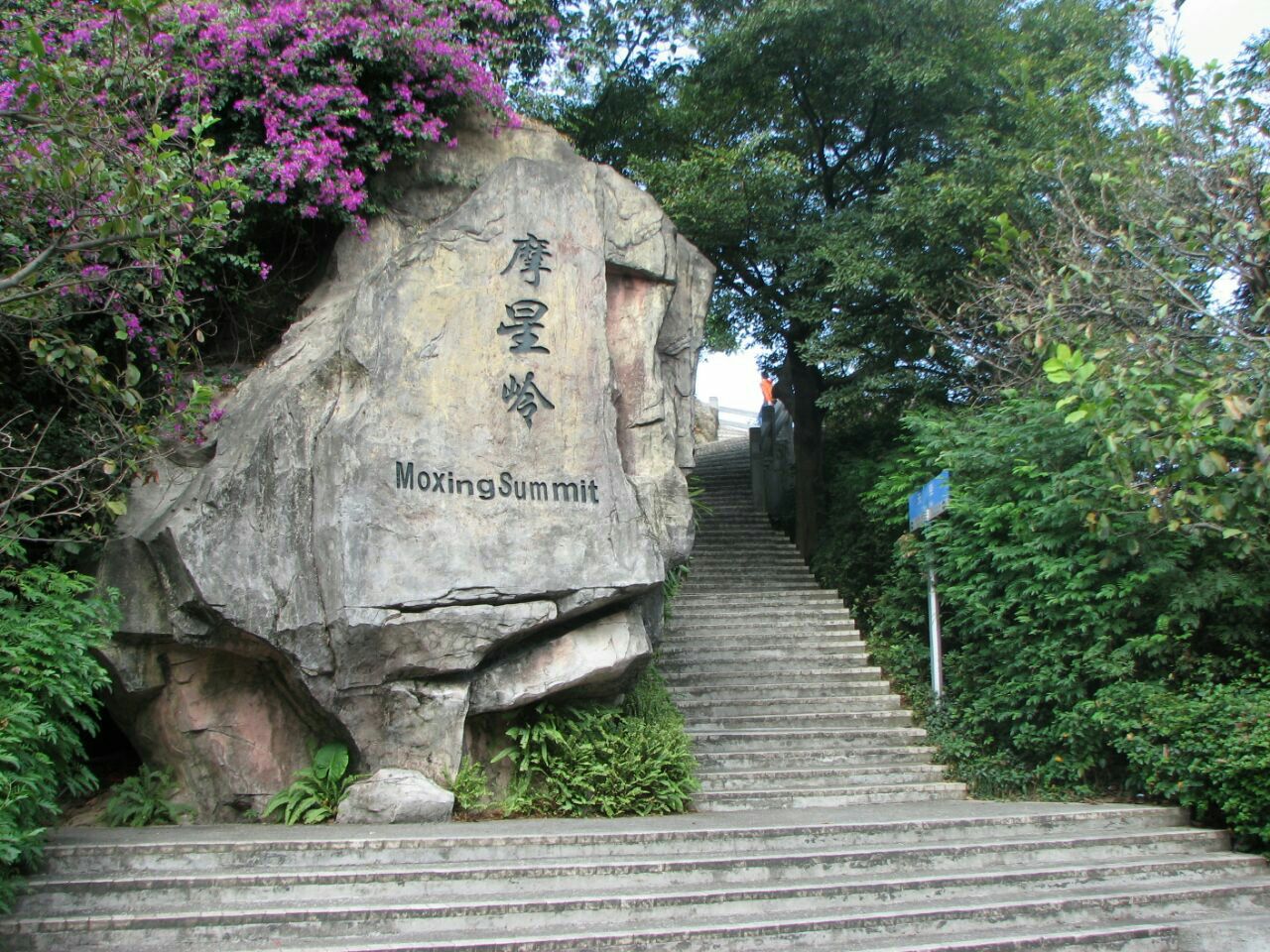
The massif sits about 7.5 km northeast of the old city center, and Metro Line 11's Yuntai Garden station turned the South Gate into a station-to-gate stroll.
Interactive Map
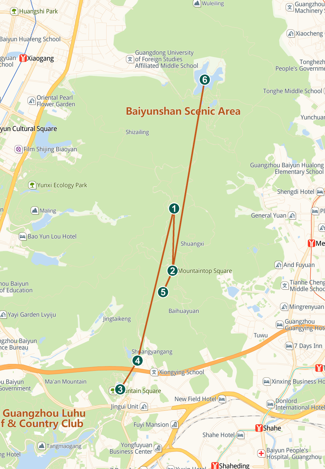
Live Amap view — drag to pan, scroll or pinch to zoom. Tap a numbered pin for details.
By Metro — Line 11 (loop)
Yuntai Garden station drops you a few minutes' walk from the South Gate checkpoint, the cable car's lower station and Yuntai Garden itself — the standard arrival.
By Metro — other lines
Line 5 to Xiaobei for the Luhu Lake corner (about 20 minutes on foot or a short hop); Line 2 to Xiaogang for the West Gate; Line 3 to Yongtai for the northern side.
By Bus
Routes 24, 63, 240 and 285 serve Yuntai Garden at the South Gate; 46, 60, 127, 175, 179, 199, 223, 241, 257, 540 and B18 stop at Baiyun Ropeway; 76, 76A, 127, 223, 265 and B18 reach the West Gate.
By Taxi or Car
A taxi to 'Baiyun Shan South Gate' or 'West Gate' is the standard drop-off; the South Gate has a small paid lot (~¥10 per entry) that fills on weekends.
On Foot — the Cloud Trail
A 6.2-km landscaped walking corridor, the 'Cloud Trail' (云道), links the mountain with the adjacent city parks — a garden-to-forest approach walk.
Getting Around
Legs or lifts: the 1986 cable car (¥25 up with entrance included, ¥20 down; 09:00–18:00) and four sightseeing-buggy lines (A–D, ¥10–20; roughly 07:30–20:00, later by season) chain the gates, Nengren Temple, Hilltop Plaza and Moxing Ridge, with a driverless smart buggy in trial on the west side. Adrenaline option: the Baiyun Flying Zipline, ~1,500 m at up to 120 km/h from the Moxing Ridge side toward Huangpo Cave Reservoir, booked via official channels. On foot, a full south-to-west traverse is about 12 km.
Comments