 CHINA 5A TRAVEL
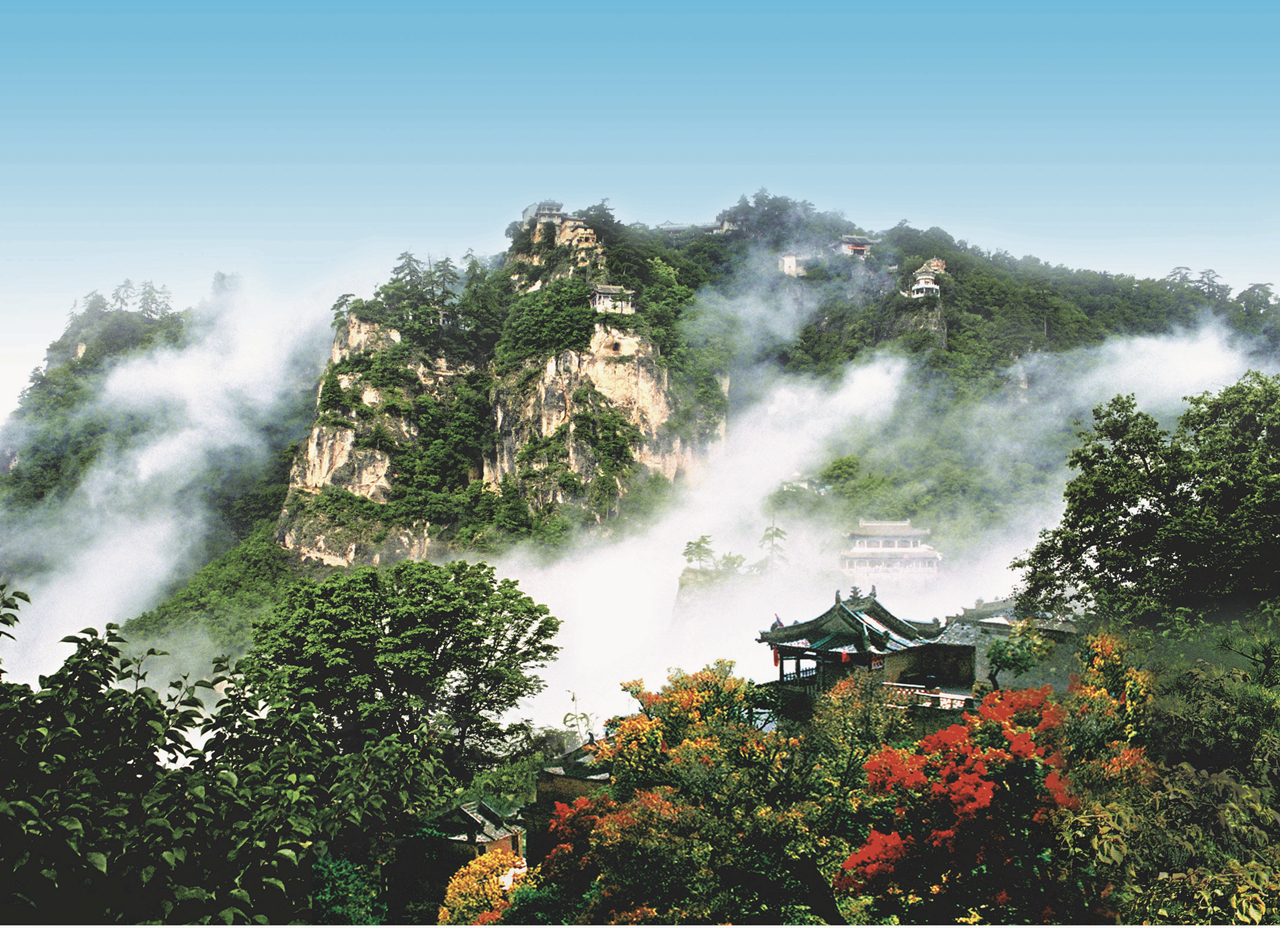
Kongtong stands 12 km west of Pingliang city on the Xi'an–Lanzhou corridor — high-speed rail makes it an easy long-weekend mountain from either metropolis.
Interactive Map
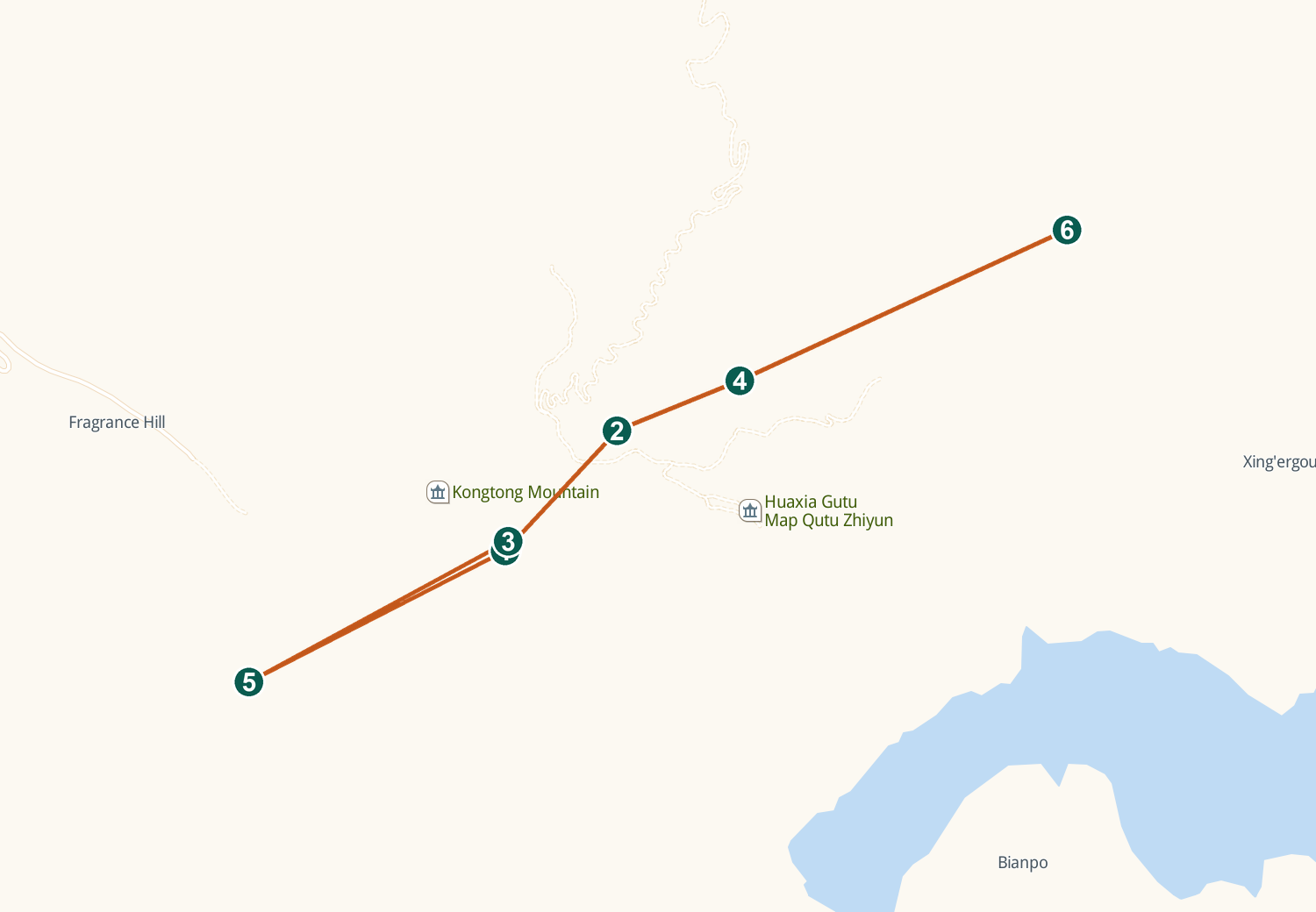
Live Amap view — drag to pan, scroll or pinch to zoom. Tap a numbered pin for details.
By High-Speed Rail
About 3 h from Xi'an or 1.5–2 h from Lanzhou to Pingliang station; a taxi then covers the last 12 km in 20–30 minutes.
By City Bus
Bus 9 or 13 runs from central Pingliang to the Kongtong Ancient Town gateway — cheap, direct and scenic enough.
By Taxi / Ride-Hail
20–30 minutes from downtown or the rail stations; ask for 'Kongtong Ancient Town visitor center', where tickets and mountain transport begin.
By Car
The G22 expressway's Pingliang West exit has been renamed 'Kongtong Mountain' — follow signs roughly 12 km to visitor-center parking.
By the 问道崆峒号 tourist train
The named Dao-route tourist train is billed for the mountain — and its ticket doubles as a key: holders enter Kongtong free within 3 days of travel.
Getting Around
From the ancient town, shuttles climb about 40 minutes to Zhongtai (¥32 one way) and on toward the Xiangshan summit (¥48) — with the cableway suspended for construction, they are the only lift up. On the mountain itself, everything moves on foot.
Also in Amap (Chinese app) · map tiles and data © Amap
Comments